Catalonia Square
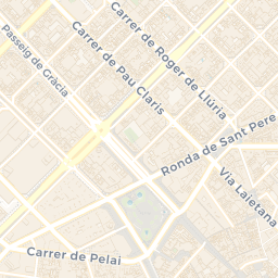
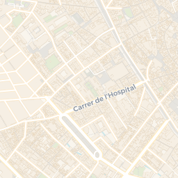
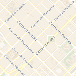
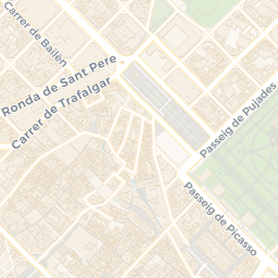
Plaça de Catalunya—also known as Plaza de Cataluña in Spanish and Katalonienplatz in German—is the point where Barcelona’s medieval core and the 19th-century Eixample meet, with the Barri Gòtic and Raval giving way to a new, planned city grid. The square covers about 50,000 square metres, and several of the city’s best-known streets converge here: Passeig de Gràcia, Rambla de Catalunya, La Rambla, Portal de l’Àngel, and also Ronda de Sant Pere, Carrer de Vergara, and Carrer de Pelai. Its planning began in 1859, as part of *pla Rovira*, but it wasn’t formally permitted until the 1888 Universal Exposition. The plaza was first urbanised in 1902, then reshaped in 1929 for the 1929 Barcelona International Exposition—an effort that included the construction of a metro station, with architect Francesc de Paula Nebot designing the changes. …
AI-generated from open data and cross-checked, with review where noted. How we write narrations
🎧 Listen in WayWhisper