Galleria delle Carte Geografiche
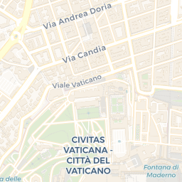
The Galleria delle Carte Geografiche, or The Gallery of Maps, sits along the Belvedere Courtyard’s west side in the Vatican. Here you walk into a long, 120-meter corridor lined with 40 painted topographical maps of Italy, created from drawings by Ignazio Danti, a friar and geographer. Commissioned by Pope Gregory XIII, the project began in 1580 and took three years to complete, with Antonio Danti, Ignazio’s brother, contributing as the painter. Each panel pairs a region with a city view, offering a striking blend of geography and vision. The maps cover the Italian peninsula, divided by the Apennines into eastern and western sectors, with the eastern side bordering the Ligurian and Tyrrhenian Seas and the western side the Adriatic Sea regions. The gallery records regions such as Salentina in Apulia, Abruzzo with L’Aquila, and multiple Marche and Emilia-Romagna districts, including Rimini, Bologna, and Ferrara. …
AI-generated from open data and cross-checked, with review where noted. How we write narrations
🎧 Listen in WayWhisperOfficial website ↗